
Skip to content
ARKHOU DRONE
ARKHOU DRONE professional VTOL aircraft

ARKHOU DRONE

We Design. We Build. We Fly. We Analyze.

Conception et fabrication de drones professionnels, acquisition de données aériennes et intelligence appliquée à l'agriculture, la cartographie et l'inspection.

Discover what’s possible

02Our services

Multirotor

Precision where it matters.

Agile and highly maneuverable aerial platforms for missions that require close-range observation, precise positioning and flexible deployment.

Best for

  • Inspection
  • Monitoring
  • Local Mapping
  • Detailed Observation
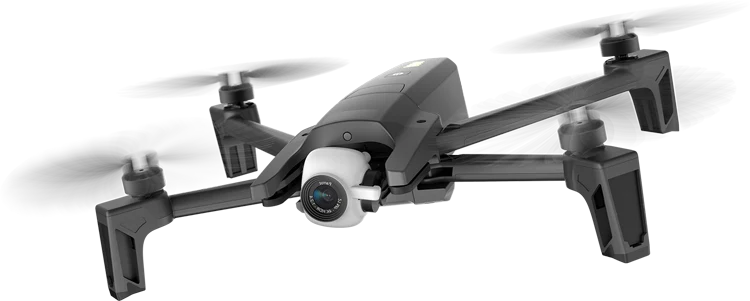
Black multirotor drone with a front-mounted camera, isolated from its background

Precise positioning

Stable flight for accurate data capture.

High maneuverability

Access complex and confined environments.

  • Closer insights
  • Detailed observation
  • Mission-focused operations

VTOL

Go further. Cover more.

VTOL platforms combine vertical take-off flexibility with efficient forward flight for missions across larger areas.

Best for

  • Large-Area Mapping
  • Agriculture
  • Wide-Area Monitoring
  • Geospatial Acquisition
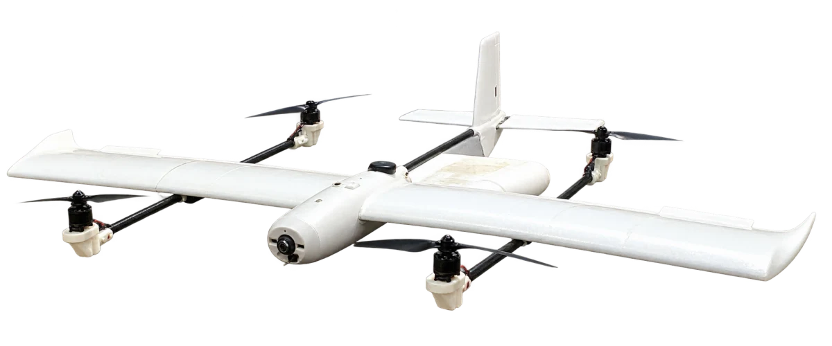
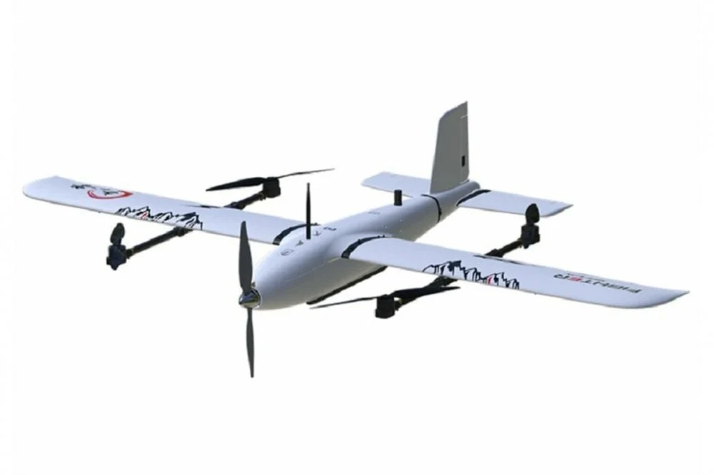
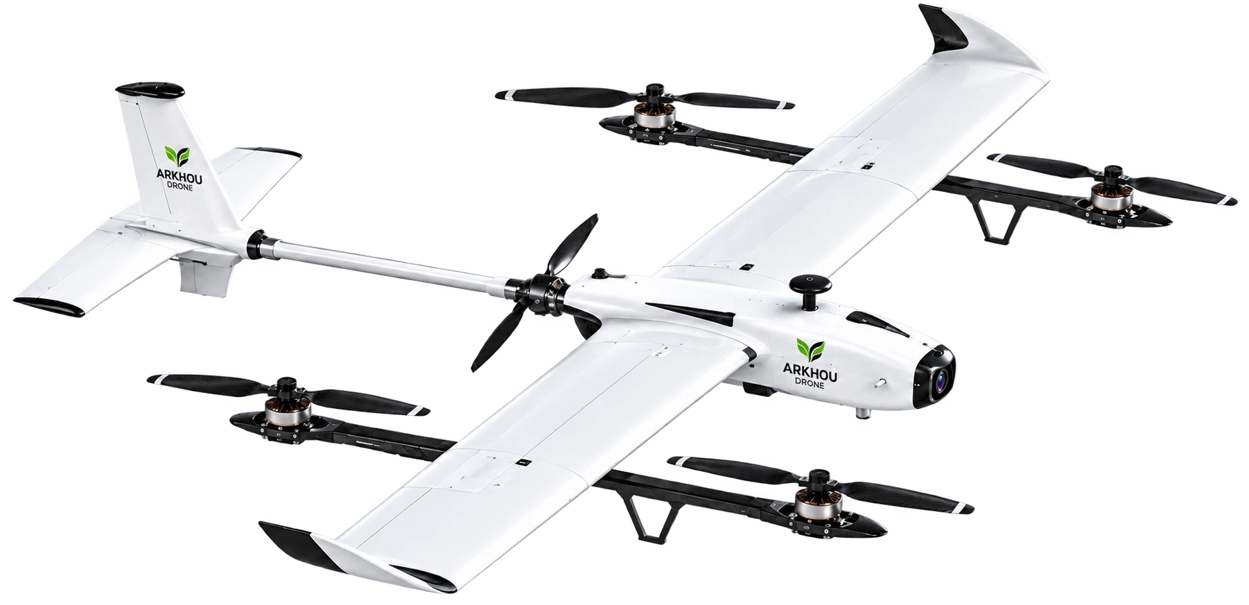
White fixed-wing VTOL aircraft with four lift motors, isolated from the event booth photograph

Wider coverage

Connect observations across larger areas.

Survey at scale

For mapping, monitoring and agriculture.

  • Vertical take-off
  • Efficient forward flight
  • Built around your mission

Aeronautical Modelling & Prototyping

From concept to flight.

A hands-on engineering approach to aerodynamic design, airframe development, control integration and flight testing.

Best for

  • R&D
  • Prototype Development
  • Airframe Concepts
  • Flight Validation
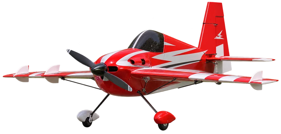
Red and white model aircraft showing its airframe, propeller and landing gear

Aerodynamic design

Explore performance, balance and stability.

Prototype & test

Build. Integrate. Validate.

  • Concept
  • Prototype
  • Flight validation

03 / Mission capabilities

More than a drone. A complete aerial intelligence solution.

ARKHOU DRONE combines aircraft, sensors, aerial data acquisition and intelligent analysis to deliver actionable information for agriculture, mapping and technical inspection.

Explore thermal imaging

04 / Start with the mission

What do you need to understand?

Start with the question on the ground. Find the aircraft and capabilities that help answer it.

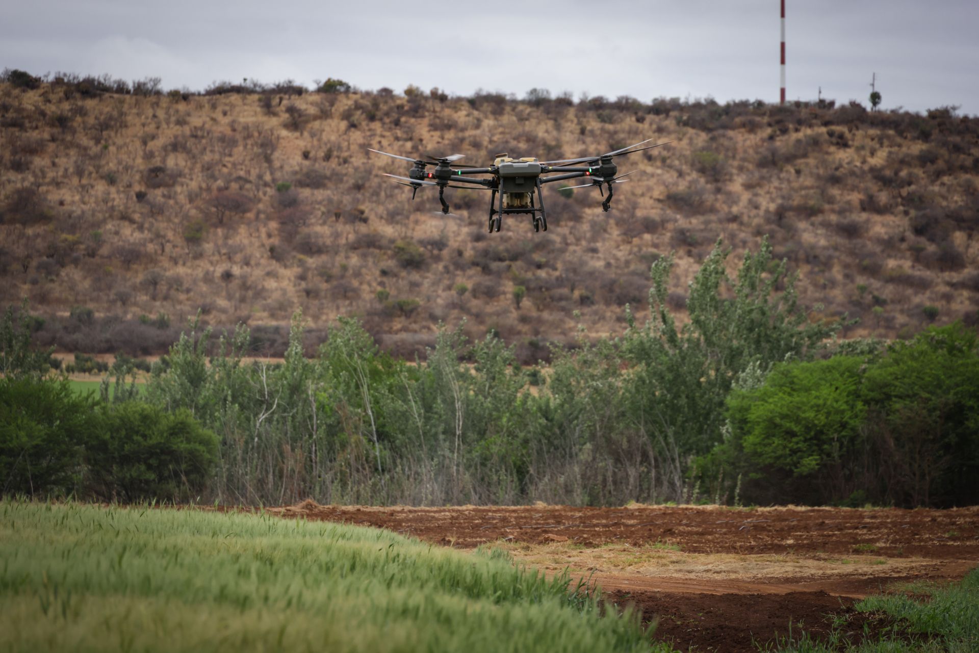
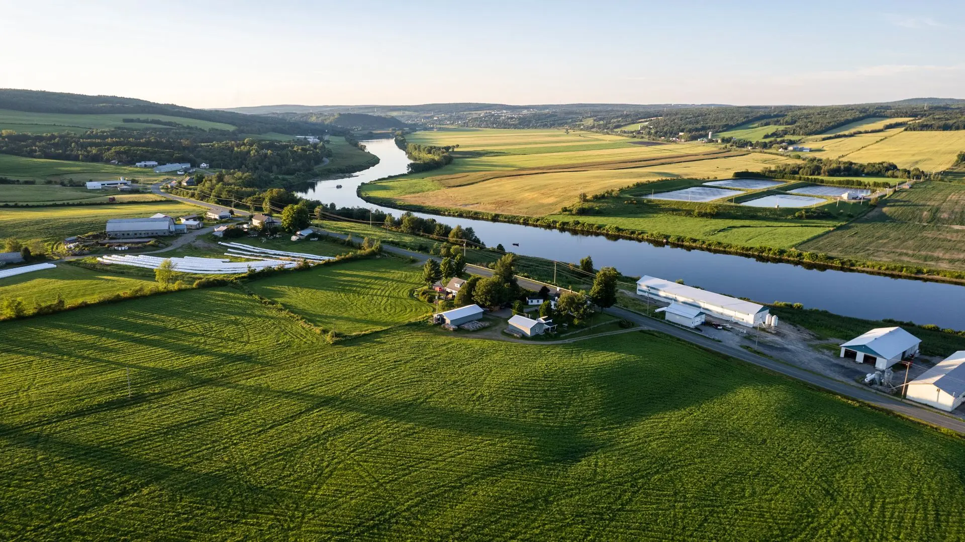
Multirotor drone flying over fields and hillside vegetation
Illustrative mission context

01 / Inspect

Inspect a site or asset.

Look at surfaces, structures or equipment that are difficult to examine from the ground. Define the views needed before choosing the payload.

Recommended approach
Multirotor for controlled, close observation.

Useful capabilities

  • Thermal Imaging
  • AI & Data Analysis
  • Surveillance
Expected information
Organized imagery and observations to guide a closer technical investigation.
Aerial coastal landscape showing cliffs, beach and ocean
Illustrative mission context

02 / Map

Understand a larger area.

Bring terrain, access routes and site features into one geographic view. Agree the boundary and required level of detail at the outset.

Recommended approach
VTOL for efficient acquisition across larger areas.

Useful capabilities

  • Mapping & Survey
  • AI & Data Analysis
Expected information
Mapping datasets and site overviews prepared for the agreed planning or documentation workflow.
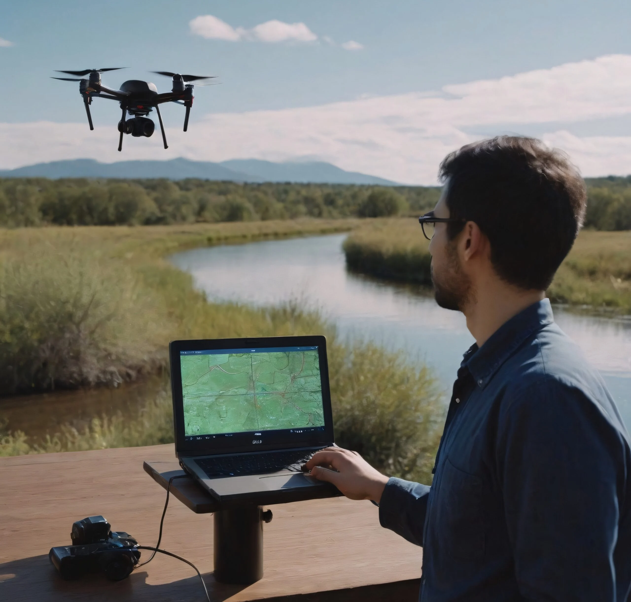
Drone operator using a laptop beside a river while a multirotor flies nearby
Illustrative mission context

03 / Monitor

Keep visibility across an operational area.

Document current conditions and identify changes worth checking. The area, access and observation schedule guide the mission approach.

Recommended approach
Multirotor or VTOL, depending on the scale and required viewpoints.

Useful capabilities

  • Surveillance
  • AI & Data Analysis
Expected information
Dated site imagery, visual comparisons and locations requiring follow-up.
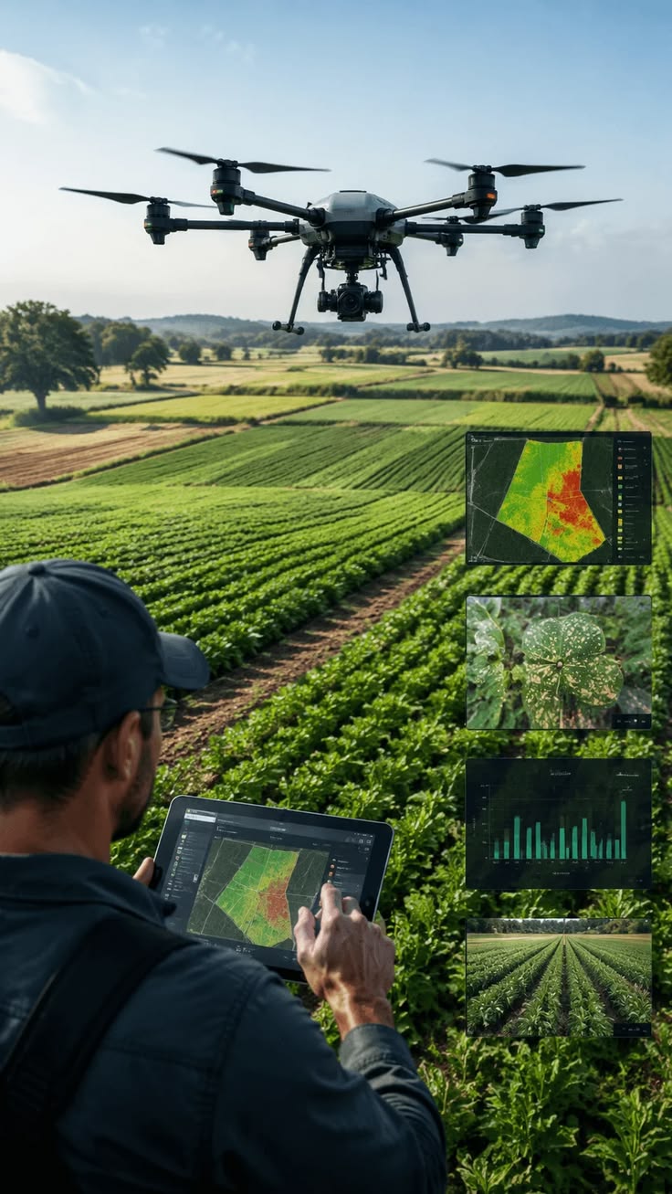
Illustration of a drone and field operator reviewing crop maps and imagery
Illustrative mission context

04 / Agriculture

Understand what is changing in the field.

Observe differences across crops and focus field visits where they are most useful. Sensor choices depend on the question and crop conditions.

Recommended approach
VTOL for large areas; multirotor for targeted observation.

Useful capabilities

  • Precision Agriculture
  • Mapping & Survey
  • Thermal Imaging

Thermal use depends on the objective, conditions and selected payload.

Expected information
Field overviews and areas of interest to compare with observations on the ground.
White fixed-wing VTOL aircraft with lift motors and a front propeller
Illustrative mission context

05 / Develop

Develop or test an aircraft concept.

Explore a configuration, a control system or an integration question through a physical prototype and structured tests.

Recommended approach
Aeronautical Modelling & Prototyping.

Useful capabilities

  • Aerodynamics
  • Airframe Engineering
  • Embedded Systems
  • Flight Testing
Expected information
Design observations, prototype documentation and test findings to guide the next iteration.

Mission workflow

How ARKHOU missions work.

From mission planning to actionable results, every operation follows a clear technical workflow.
  1. 01

    Understand

    Define the objective, site conditions and operational constraints.

  2. 02

    Design

    Select the aircraft, sensing approach and mission workflow.

  3. 03

    Validate

    Prepare and check the mission approach for safe and reliable operation.

  4. 04

    Deploy

    Execute the mission and capture the required field information.

  5. 05

    Interpret

    Organize the collected information into maps, observations or actionable outputs.

Engineering system

From Aircraft to Intelligence.

Each technical choice connects to the next, from the airframe to the information your team can use.

White fixed-wing VTOL aircraft with lift motors and a front propeller
Aircraft / Mission System
  1. 01

    Airframe

    The platform is selected or designed around the mission.

  2. 02

    Electronics

    Flight control and communication systems connect the aircraft and mission hardware.

  3. 03

    Sensors

    Visual, thermal and mapping payloads capture mission-specific information.

  4. 04

    Data

    Collected information is structured into usable datasets.

  5. 05

    Intelligence

    Analysis helps reveal patterns, areas of interest and priorities.

  6. 06

    Decision

    The mission output supports the client’s next technical or operational step.

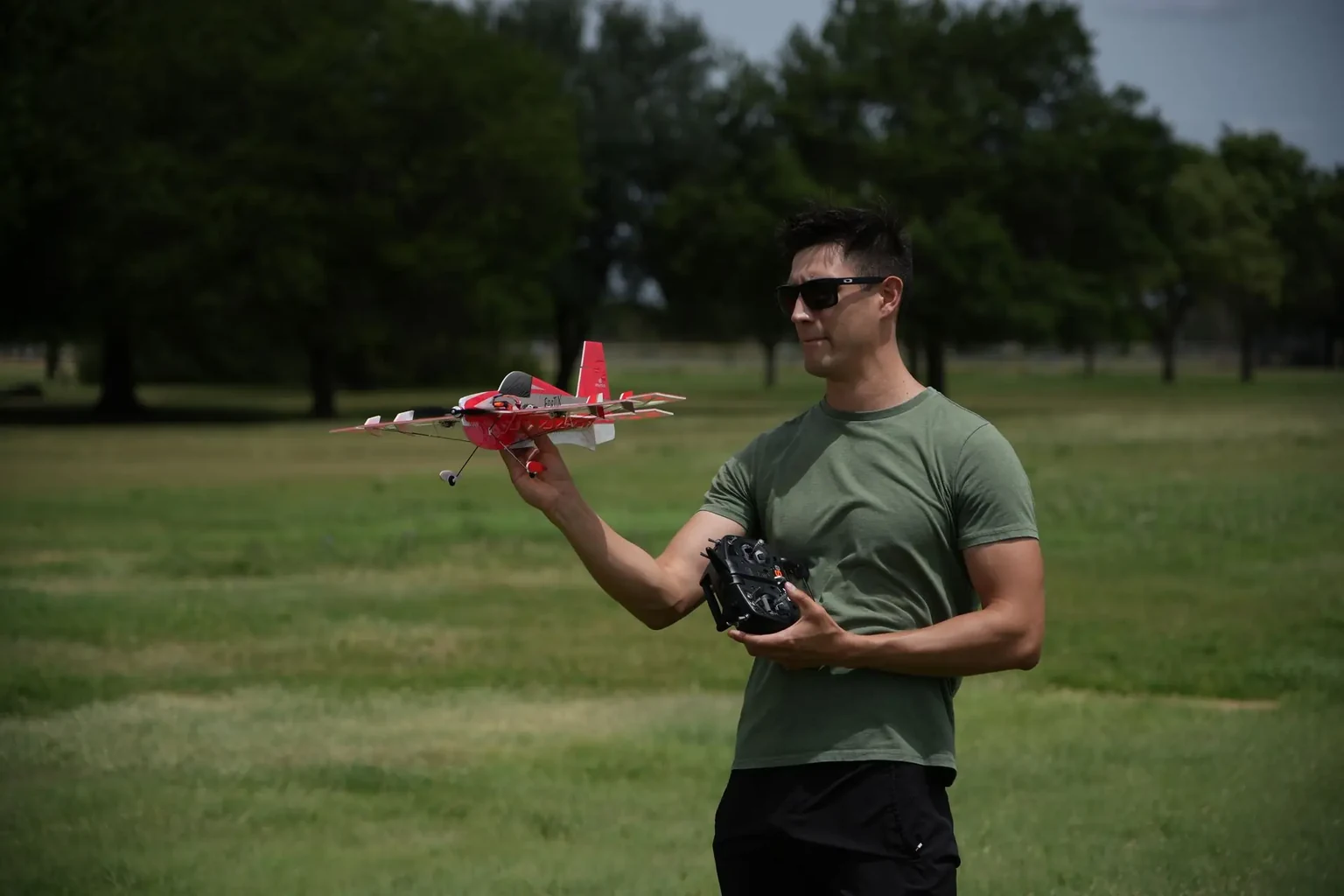
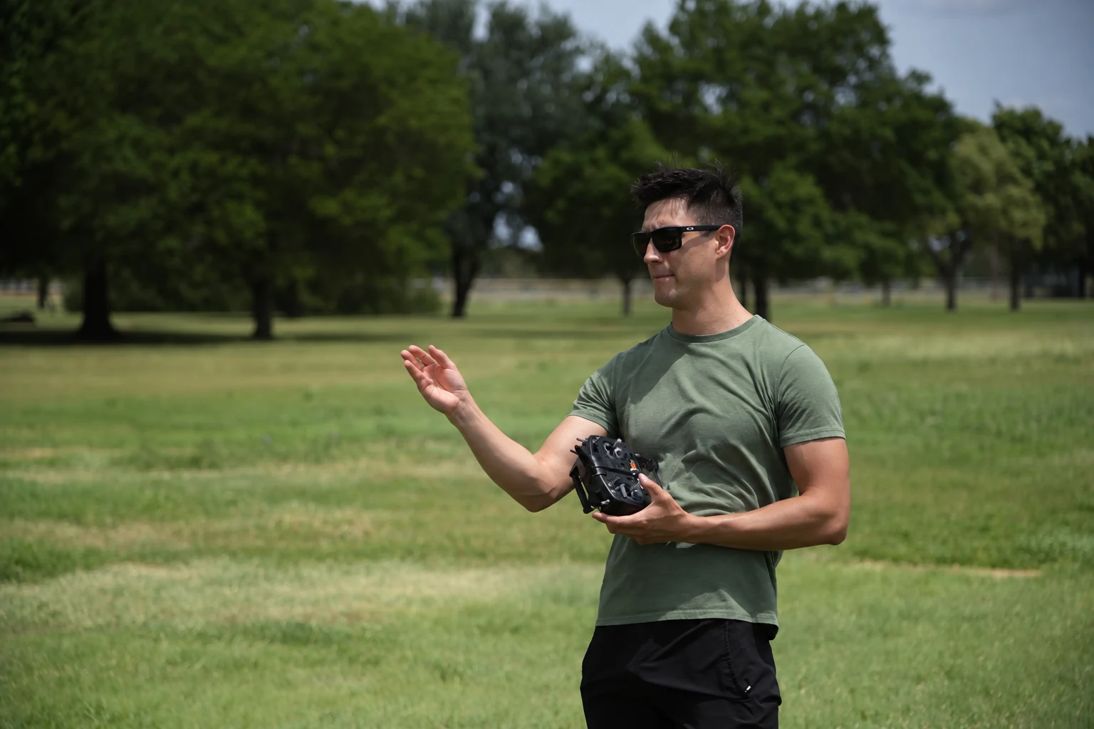
An aeromodelling pilot holding a red model aircraft and a radio controller in an open field
07 /Our aeronautical DNA

Our aeronautical DNA

A passion
that takes flight.

Design, build, test and learn through flight.

Learning through flight

Design. Build.
Test. Learn.

Aeromodelling is part of ARKHOU’s engineering culture — a practical way to explore aerodynamics, aircraft balance, control and flight behavior through design, building and testing.

DesignBuildTestLearn
Discover Aeromodelling

Leadership at ARKHOU

A vision shaped by
engineering and flight.

Engineering, flight and technology come together through a mission-focused approach to solving real challenges.

Khouloud Mhamdi

Khouloud Mhamdi

CEO & Founder

in

A clear direction.
Built to move forward.

Discover our story

How we work

Principles that shape every mission.

Clear objectives, considered technical choices and information that helps you decide what comes next.

  1. Purpose before technology

    Start from the objective before selecting the aircraft or sensor.

  2. Precision with context

    Good data only matters when it answers the right operational question.

  3. Engineered for real conditions

    Design the approach around terrain, access, environment and mission constraints.

  4. Clear outputs

    Deliver information that the client can understand and use.

Your next move starts here

Let’s give your idea
a flight plan.

Tell us what you need to inspect, map, monitor, understand or develop. We’ll help define the platform, capabilities and mission approach around that objective.

Discuss Your Mission
Your mission brief

Start with what matters to you.

Inspect Map Monitor Analyze Design
Prefer a conversation?+216 55 350 659